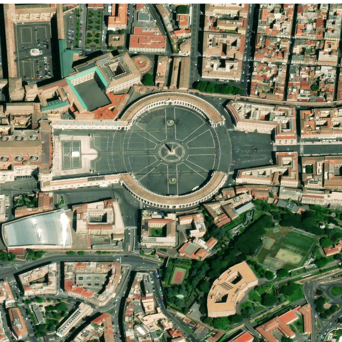
Maxar is the first company to deliver native 30 cm resolution and derived 15 cm high-definition imagery, delivering clearer, richer images that empower better decision-making through improved situational awareness.
The fidelity of Maxar’s 15 cm HD imagery lets you build more accurate maps and gain greater clarity.